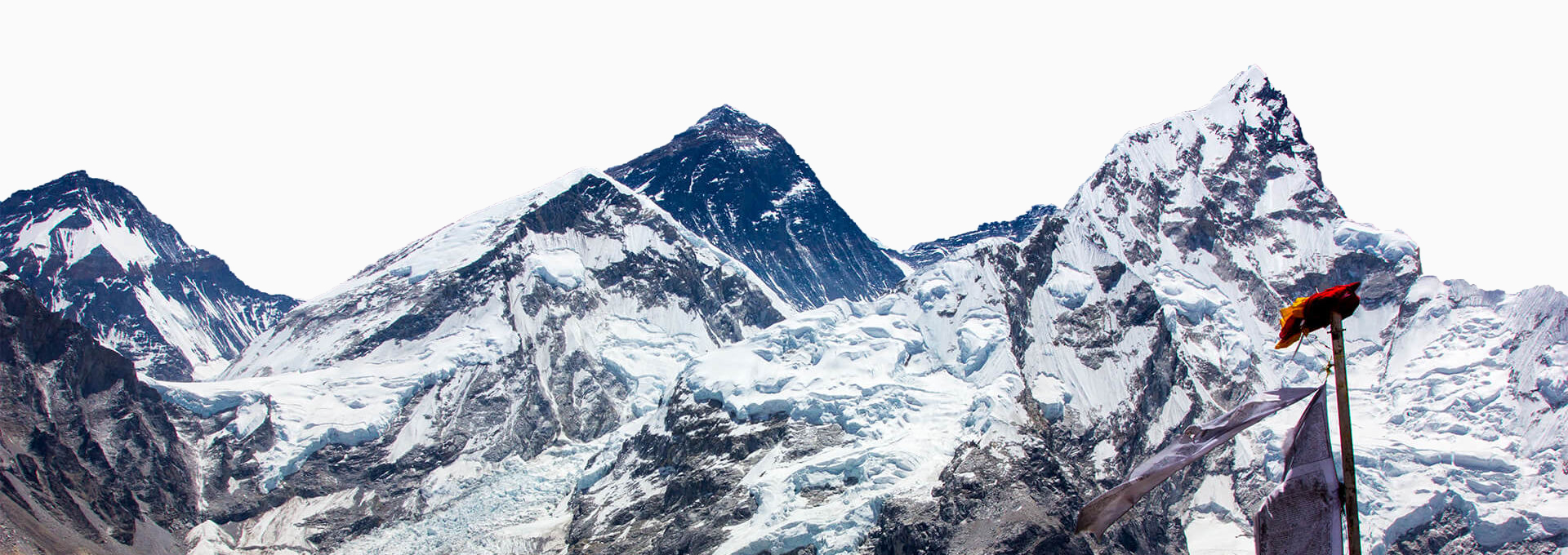
While the Everest Base Camp trek is known for its well-marked trails and lively teahouse routes, having the right digital tools can make the journey much smoother and more enjoyable. Navigation apps help you stay oriented even without internet, weather tools help you anticipate changing mountain conditions, and identification apps can deepen your appreciation of the incredible Himalayan landscape. Before heading into the mountains, taking a few minutes to download the right maps and apps can make a real difference on the trail, and the apps below are organized by when you’ll actually need them.
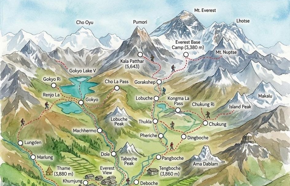
Navigation Apps
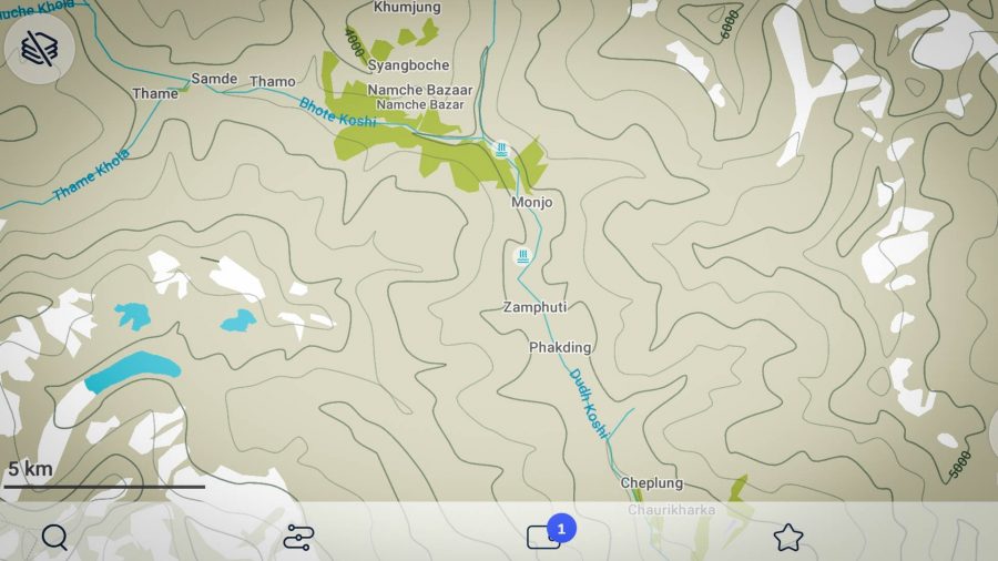
Maps.me: A reliable offline mapping app that works without an internet connection. Download the Nepal map pack before your trek. The app shows trails, teahouses, and points of interest. It is Free to use with detailed topographic information.
Gaia GPS: A powerful navigation app that provides highly detailed topographic maps with contour lines, elevation data, and water sources. It is ideal for understanding terrain and planning routes with precision. It offers offline map downloads, making it especially useful for remote trekking.
Weather Apps
 Yr.no: A Norwegian weather service providing highly accurate hourly forecasts for specific locations in the Himalayas. Make sure to add relevant locations beforehand. Great for local data.
Windy.com: An advanced weather visualization tool showing wind patterns, cloud coverage, and precipitation forecasts with interactive maps. Excellent for the big picture.
Webcam Nepal Live (YouTube): Real-time webcam feeds from various points along the EBC route, including Lukla, Namche, Hotel Everest View, and Lobuche. Invaluable for monitoring actual ground conditions, visibility, and snowfall to make informed decisions about continuing the ascent or taking rest days.
Attraction Apps
 PeakFinder: An augmented reality app that identifies and labels mountain peaks visible from your location. Costs $4.99.
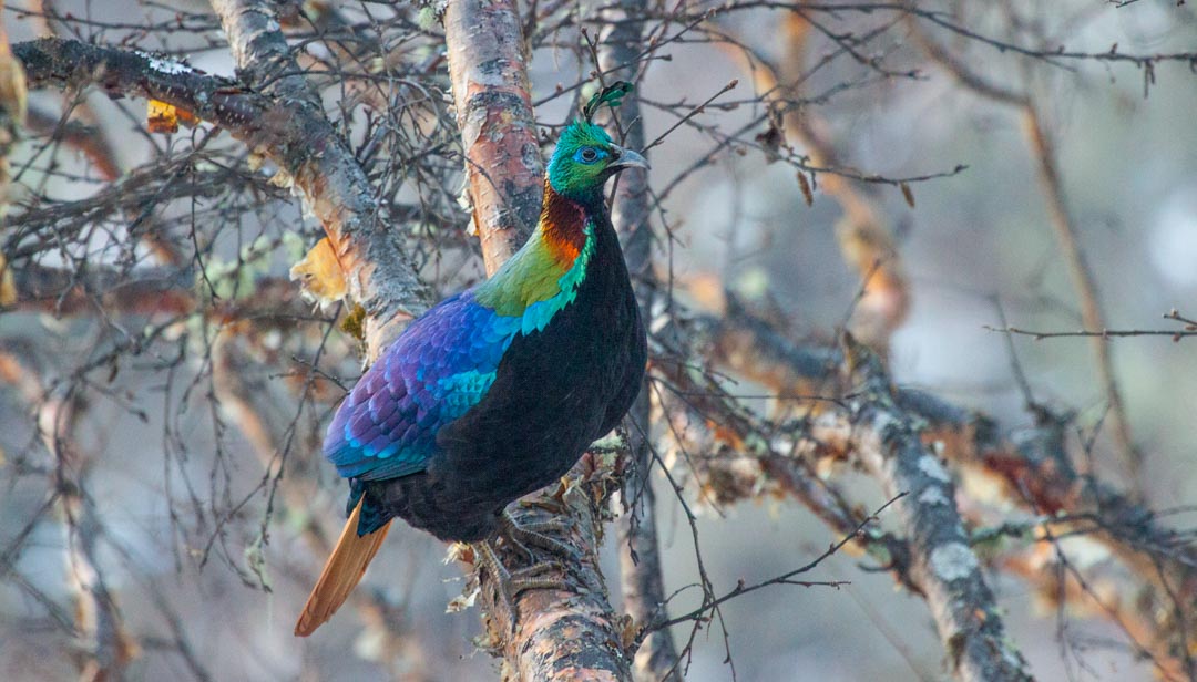
Merlin Bird ID: Merlin is a bird book and bird ID (using call, location, and images) rolled into one. Make sure to download the Nepal pack before leaving. Free. For those who want to go a step further, eBird, made by the same Cornell Lab team, lets you log your sightings and see recent reports from birding hotspots along the EBC route. The two apps work together seamlessly, and your Merlin sightings can be shared directly to eBird.
Seek by iNaturalist: A simple and beginner-friendly app for identifying plants, trees, and mushrooms using your phone’s camera. Just point and scan, and it does not require an account registration. It includes useful information on common Nepalese plants like rhododendrons, edelweiss, and medicinal herbs. It works offline after initial setup, making it a great companion for trekking in remote areas.
PlantNet: A photo-based plant identification app useful for identifying rhododendrons (Nepal’s national flower), junipers, medicinal herbs, and alpine flora. Make sure to juggle between the Indian subcontinent and Indo-China maps for the best results in the Everest Region.
Vegetation of Sagarmatha App: A specialized app specifically designed for Sagarmatha National Park’s plant species with offline functionality. It provides detailed information about endemic and rare Himalayan vegetation, including distribution patterns across different altitude zones.
A Useful Extra: Google Translate
 It doesn’t come up often on the trail itself; your teahouse menus are usually in English, and most lodge owners along the EBC route are used to international trekkers. But once you step off the main trail or head into smaller villages, Google Translate earns its place. Download the Nepali language pack before you leave Kathmandu so it works offline. It’s especially handy for deciphering handwritten signage, market labels, or simply exchanging a few more words with locals you meet along the way. It won’t always be perfect, but it closes the gap enough to matter.
Back in Kathmandu: Apps Worth Having
The EBC trek ends, and then Kathmandu begins. After two or three weeks of straight trails, teahouses, and no traffic, the city hits differently. The streets are chaotic, the taxis are inconsistent on pricing, and after days of dal bhat, you will almost certainly want to eat everything that isn’t dal bhat. These apps make re-entry a lot smoother.
Pathao: A go-to ride-hailing app in Kathmandu that works like Uber for both bikes and cars. It’s reliable, affordable, and far easier than negotiating with metered taxis on the street. Pick your vehicle type, confirm the fare upfront, and you’re moving, no surprises at the end.
InDrive: It takes a different approach; you propose your own fare, and drivers accept or counteroffer. It takes a little more back-and-forth, but it works particularly well for longer runs like airport transfers or getting across town to Thamel for gear shopping, where a self-negotiated price often beats the default rate.
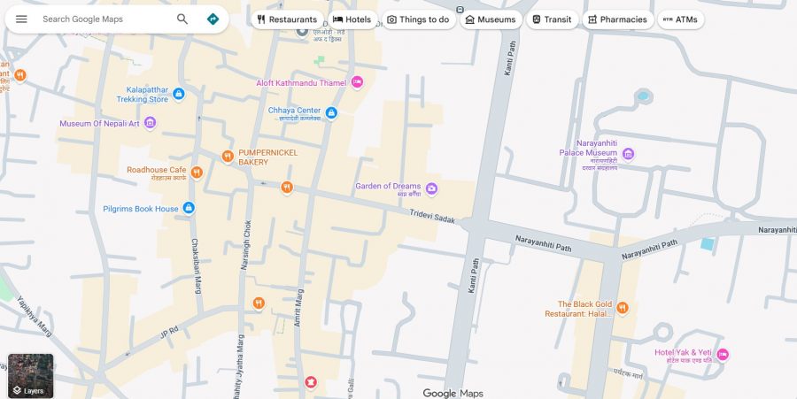
Google Maps: It is straightforward but worth mentioning; download the Kathmandu offline map before your flight back. Navigation in the city relies heavily on landmarks rather than street addresses, and having the map cached saves you when you’re jet-lagged and standing at a junction that looks like five other junctions.
Before You Go
 Technology cannot replace preparation, awareness, and good judgment in the mountains, but the right apps can be extremely helpful companions along the trail. From checking the weather before a high pass to identifying the peaks and plants around you, these tools add an extra layer of information and confidence to your trek. Just remember to download everything you need before leaving for the mountains, as connectivity becomes limited the higher you go.